
Derbyshire Map Print
Price range: £8.00 through £20.00
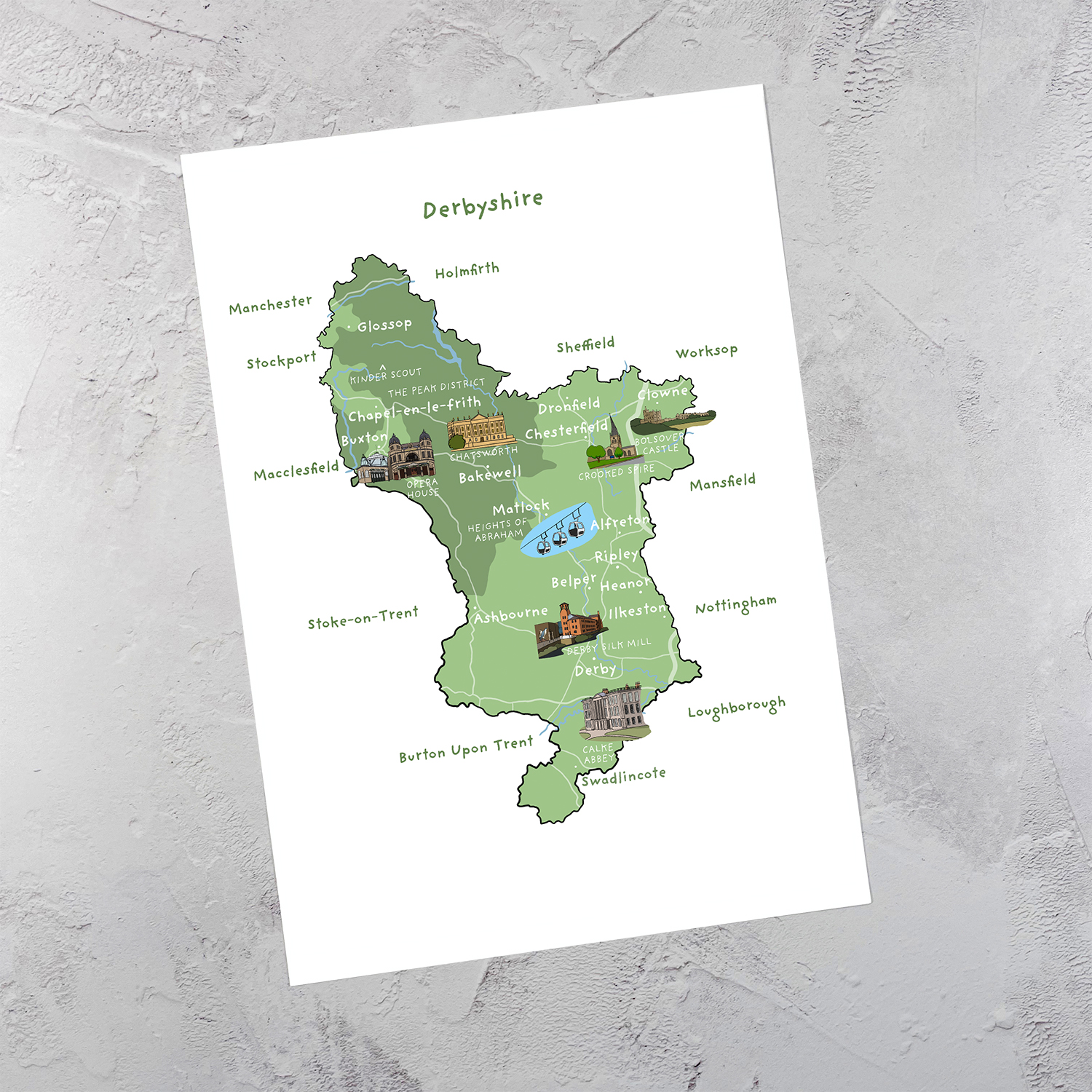
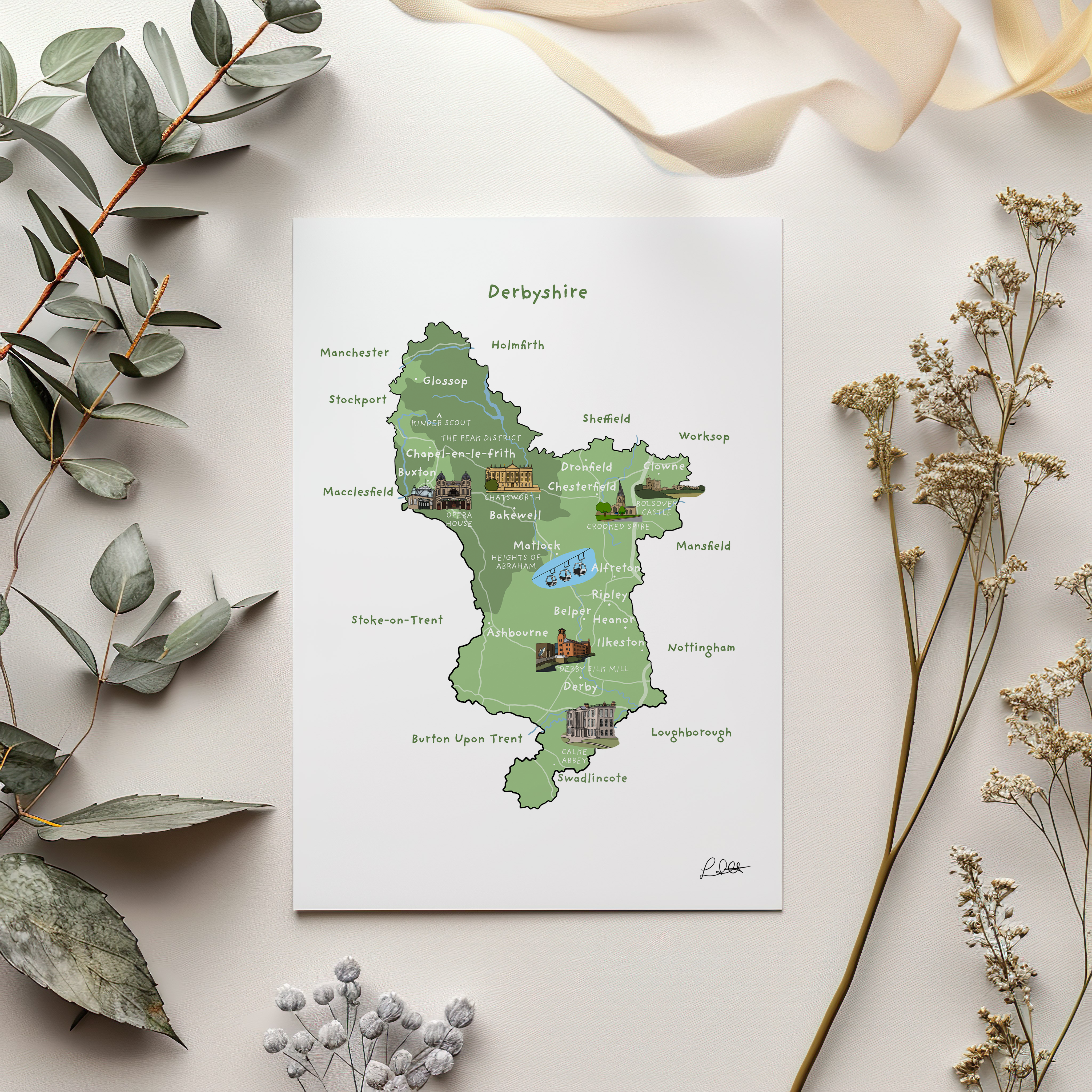
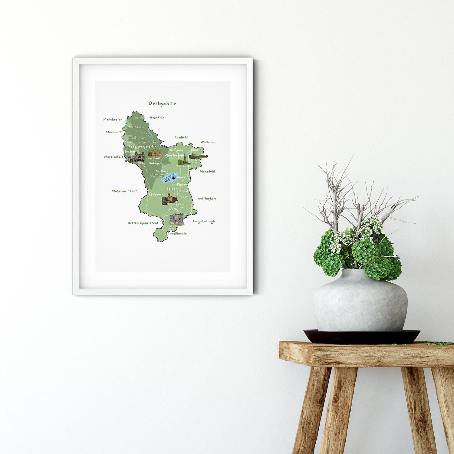
A print featuring an map of Derbyshire and some of its landmarks – available in A5, A4 and A3.
Description
Derbyshire, located in the heart of England, is a captivating county known for its rolling hills, charming villages and historic market towns – places such as Bakewell, Matlock, Chesterfield, Buxton and Belper. The Peak District National Park covers a large part of the county. Derbyshire’s industrial past is evident in its impressive mills and factories, a testament to its significant role in the Industrial Revolution. Visitors can also explore majestic stately homes, such as Chatsworth House and Calke Abbey.
The print features an illustrated map of Derbyshire.
Information & Size:
The print is available in three sizes:
A5 which measures 14.8cm x 21cm
A4 which measures 21cm x 29.7cm
or A3 which measures 29.7cm x 42cm.
It is printed on 270g heavy weight matt paper with archival inks. The print is unframed.
Other Derbyshire Map Products:
You can find the other Derbyshire Map products including cards here.
Additional information
| Print Size | A3, A4, A5 |
|---|
Related products
-


Bakewell Bridge Print
Price range: £12.00 through £20.00Select options This product has multiple variants. The options may be chosen on the product page -
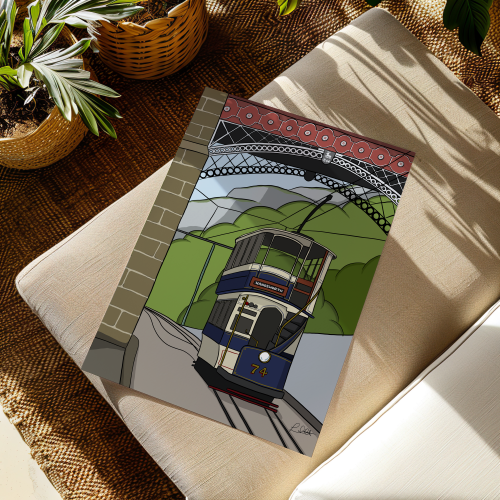

Crich Tramway Museum Print
Price range: £12.00 through £20.00Select options This product has multiple variants. The options may be chosen on the product page -


Winnats Pass Print
Price range: £12.00 through £20.00Select options This product has multiple variants. The options may be chosen on the product page
Reviews
There are no reviews yet.